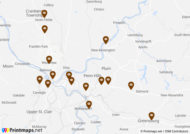
When it comes to mapping multiple locations there are a few things to take into consideration. First, how to pin your business locations, stores, and any other important Point of Interests as fast and efficient possible on their correct location on the map. Second, how to preserve the quality of the map so that it can be printed in high resolution. To print a map with multiple locations for your business can easily become a time-consuming and expensive business itself. Especially if your business comprises many brick and mortar stores, getting all these displayed on a map will take time, knowledge and quite a bit of patience.
In this article we will explain how to cut down drastically on the time it takes to create a map file to print a map with multiple locations while also showing you how to make the whole thing easy on the eyes.
Plot several locations at once
You might be familiar with the notion that buying in bulk is always a good idea. But did you know that uploading your geo-data in bulk can be just as advantageous?
Often, companies have not only one or two or maybe three brick and mortar stores. There may be so many that the idea of finding out their coordinates in order to locate them on a map for printing or presentation purposes seems like the most cumbersome of tasks. This is where bulk-geocoding comes in.
By merely copying the postal addresses into a bulk-geocoding uploader, all the postal addresses will be converted to their respective geographical coordinates. A good bulk-geocoding tool will let you use information copied and pasted from a database or from a spreadsheet like Microsoft’s Excel or Libreoffice’s Calc and do all the heavy lifting for you. The result will be all your points of interest (POIs) located on the map within minutes.
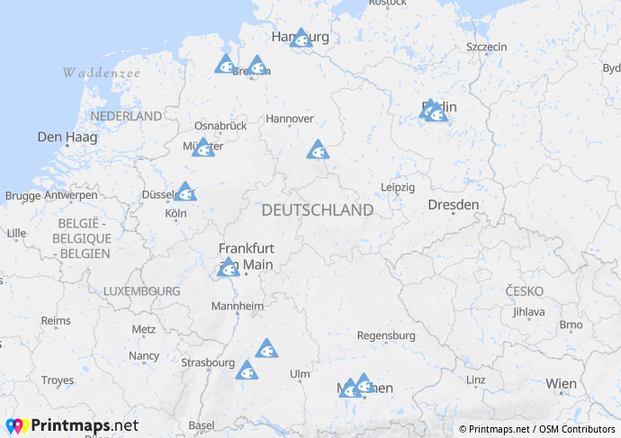
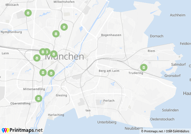
Easily pin multiple locations on the print map
Apart from the many other features Printmaps offers, we also have a built-in geocoder that allows you to batch-upload and convert your addresses to their respective coordinates. It really is as easy as copying and then pasting data from a spreadsheet or a database column. Just click this Button in the editor:  and you’ll have a familiar sight right in front of you. All you need to do is paste your content into the respective fields, and Printmaps will do the rest. Just copy and paste if you’d like to map multiple locations from excel.
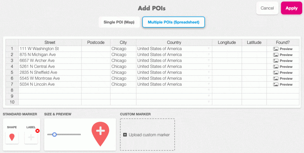
Once our geocoding engine has converted the addresses to their respective coordinates, you can go ahead and change the type of marker, the colour, icon or their size. All POIs will be saved in a separate layer, so once you’ve downloaded your map in Photoshop format, you can open it up and fine-tune the positioning of your POIs.
Add custom pins to your multiple locations map
If you want to print a map with multiple locations, perhaps you want to pin these locations with pins that show your business logo. Within the editor you have the option to upload your own customized pins, and immediately pin those onto your map. You can also decide to add your custom pins later while you edit in Photoshop or Illustrator.
But wait, there’s more
Apart from being able to position as many POIs as you want, Printmaps offers a wide array of tools to make your life easier. Say you want to draw a border around the country or municipal area you want to emphasize? That’s what the Printmaps shapes tool is for. Click this button  and then simply search what you’re looking for.
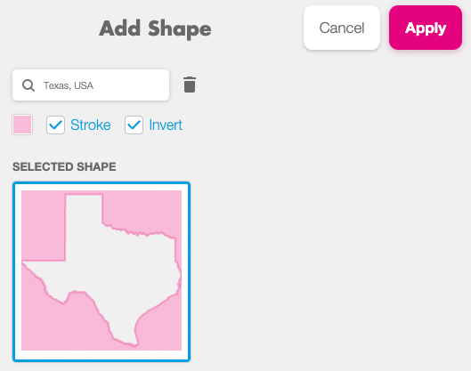
Using shapes will not only help guide the viewer’s focus to the area you want to show off, but will also remove areas you don’t want to be visible on your map, whatever your reasons may be.
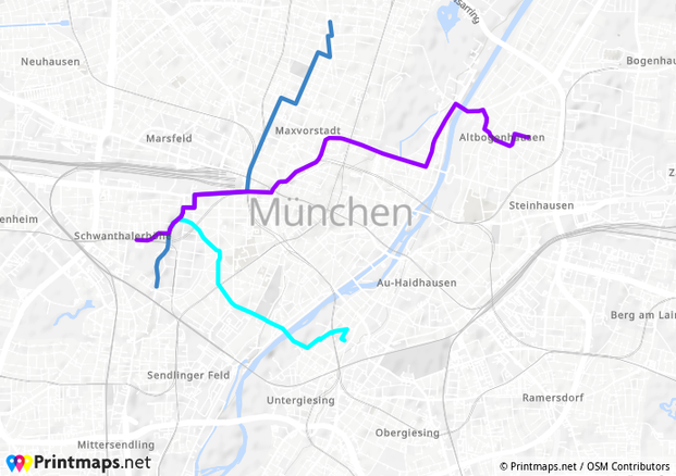
Another important and useful drawing tool is the route editor. Have a route between places you want displayed on the map? Either just draw it or, if you have it as a GPX file, simply upload it and it will be added to your map. And yes, you can of course draw more than just one route on your map.
Try Printmaps
Our map-editor lets you create printable maps worldwide in no time.
Recent Comments